Map Apps and Storymaps
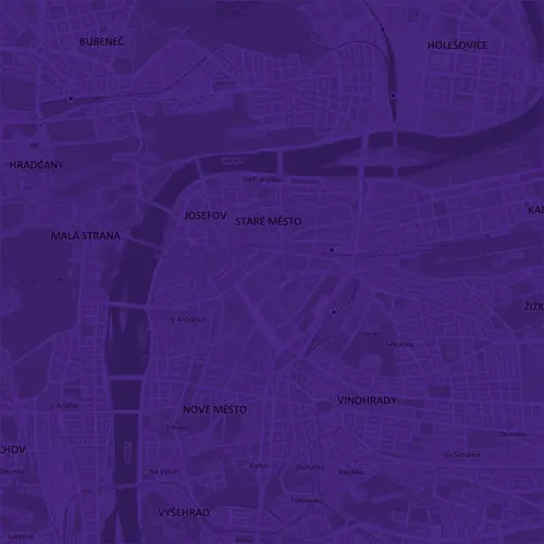
PAM Atlas
The PAM Atlas is an interactive map application that displays data from Prague Planning Analytical Materials. It allows users to zoom in and print maps or obtain information about the area.
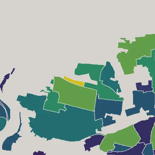
Catalogue of Localities
The catalogue presents selected statistical data for individual state localities. It allows for their comparison with values for the entire city or for a specific type of city structure.

The Historic Centre of Prague
The application displays data of planning materials for the Prague Heritage Reservation, archival maps, images, and information about individual buildings.

Viewing Points
The application displays Prague from viewpoints registered in PAM for assessing building intentions and the conditionally permissible coefficient of floor areas.
CZ version only

Diverse Prague
The storymap narrates what urban diversity in Prague is. It showcases diverse patterns of urban structures and their perception by pedestrians, cyclists, and drivers.

Industrial Prague
The storymap talks about the dynamic changes in Prague's industry in the 21st century and the challenges that production areas face today.

One Night Prague
The storymap tells the story of Airbnb in Prague, how it has changed with the covid-19 pandemic, and how it compares to other cities in Europe.

15 minute Prague
15-minute Prague is a loose extension of the Prague Population and Public Amenities Prognosis project. It aims at simultaneous assessment of basic amenities, population density and accessibility of the city area.
CZ version only